Fifteen miles of highway.
Five places to cross.

Proof that asking works.
-
September 2026
The East Coast Greenway corrected its map
Their route map showed the trail with real protected space between walkers and US 17. There isn't any — it is about three feet, running right alongside the highway. We raised it. They edited the data. Anyone planning the Maine-to-Florida route now sees what is actually there.
See the before and after →
You cannot stop for what you cannot see yet.
This is not about careless drivers. On low beams a driver first sees a person at around 160 feet. At 55 mph the car is covering 80 feet every second.
Nobody is against being able to see.
Low beams are required to reveal a person at 150–160 feet. Stopping from 55 mph takes roughly 300 feet once you include the time it takes to react, and the sight distance a road like this is designed around is 495 feet. The gap is not a driver's fault. It is the road, unlit.
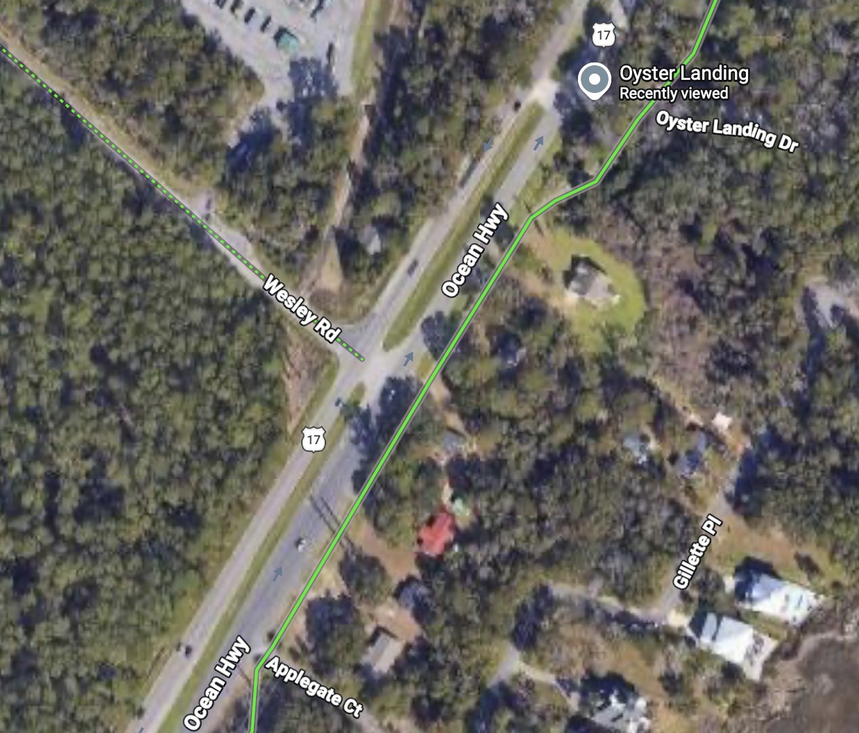
The map says connected.
The road says otherwise.
The dotted line reaches US 17 and stops.
Google Maps, biking layer.
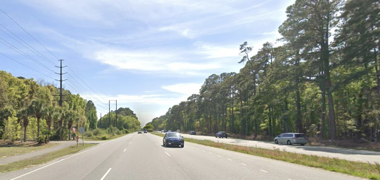
My dad was killed here.
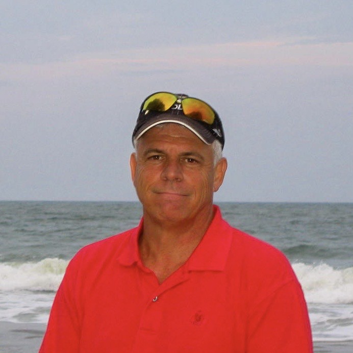
My dad walked the same loop every afternoon.
He was on the Greenway Walkway near Wesley Road when a car traveling 55 miles an hour hit him. He died on August 1, 2024.
People ask why he didn't use a crosswalk. There wasn't one — not there, and not for two to three miles in either direction.
Somebody studied this corridor properly.
Streets & Commons produced an independent analysis of this stretch — the crashes, the road design, and what would change them. We didn't commission it and we didn't pay for it. It was given to us.
I am not an engineer. This is the work of people who are.
Two years ago, I thought bike lanes were a DEI project too.
Two years ago, I also had a dad.
I'm a Republican, and in nine months of advocating for safer streets, I have yet to meet another one.
Sidewalks, crosswalks and bike lanes are not a competing agenda. They are the same transportation system as the lanes we drive on — and we have only been funding half of it.
The road failed him.
The road failed the
elderly driver.
It is failing this community.
Chrissy Oakes · Founder, Safer 17
Four things, in the order they should happen.
-
Light this corridor
Nine of ten. No land to buy, no lanes to take, nothing to knock down — and it is the one we should win first.
-
Signalized crossings at a walkable interval
One every three miles is not an interval. Nobody should have to walk two miles to legally cross the road outside their own house.
-
Lower design and posted speeds where people live
A person hit at 25 mph usually lives. At 55 they usually don't. Design speed is a policy choice, not a fact of nature.
-
A published corridor study with dates attached
Commitments residents can hold someone to. My father died in 2024 and no engineer has called me back.
Smart Growth America · Families for Safe Streets · Streets & Commons
“The streets can't talk like me and you… but look and listen. They'll tell you what to do.”
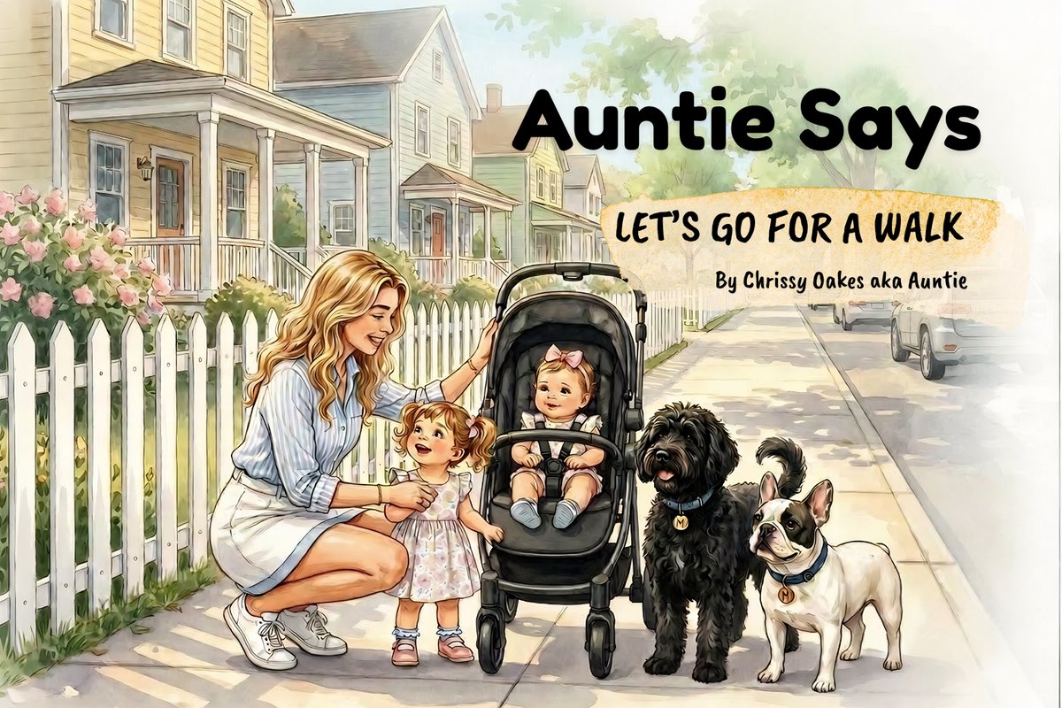
Auntie Says: Let's Go for a Walk — a children's book about road safety.
The rooms where this gets decided are almost always empty.
Leave your email and we'll tell you when the next one is.
We never share your address. Unsubscribe anytime.